Geological studies and land management
During its activities, VDP has gained experience in the field of Studies and Geological Surveys for the design of civil engineering works and for the preparation of land management/planning tools by referring to the New Code of Procurement and Technical Regulations on construction (NTC 2018).
As is well known, the Public Works project is divided into two levels of technical analysis: the Preliminary Design and the Detailed Design.
Each phase is intended to ensure “Compliance with hydrogeological, seismic, forestry and other constraints” and “The geological, geomorphological, hydrogeological compatibility of the work”.

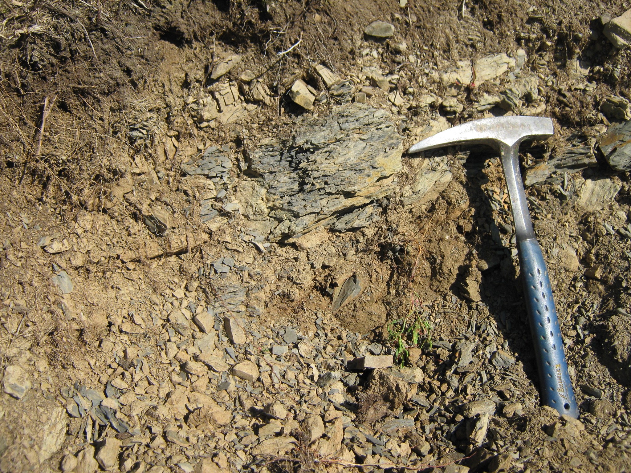
In the Technical and Economic Feasibility Projects, VDP is able to provide targeted campaigns of Geomorphological, Geological-Technical and Hydrogeological Surveys with subsequent programming of Geotechnical and Geophysical Surveys aimed at the Design of the Intervention. The geologists of the Society prepare and carry out specific Studies aimed at the definition of the Lithological types, the Structure and the Physical Characteristics of the Site of design interest aimed at the reconstruction of the Geological Model of the Subsoil, illustrating the specific characteristics and the consequent level of Geological Hazard.
In the Executive Planning phase, the VDP program Specialist Geological Studies aimed at the development and local deepening of what is contained in the Preliminary Design, preparing any necessary Integrative Investigations.
The geological studies take into account the D. Lgs. April 18, 2016 n. 50, D.M. 17/01/18 “Technical Standards for Construction”, O.P.C.M. n. 3274/03 “First elements regarding general criteria for the seismic classification of the national territory and technical regulations for buildings in the seismic zone” with annexes and subsequent amendments and O.P.C.M. n. 3519/06 “General criteria for the identification of seismic areas and for the formation and updating of the lists thereof”.
VDP specialists, after a preliminary research and analysis of the published geological data available and the existing planning data, proceed with the execution of the above-mentioned geological surveys technical details and with the planning and drafting of the investigation plan with the aim of defining the physical and mechanical characteristics of the land. In the course of the studies, the seismic characteristics of the area affected by the project are also evaluated, also in connection with existing seismic and local seismic microzonation studies.
The Geological reconstruction of the area of the characteristic volume is of fundamental importance for the geological and geotechnical modelling through the exposition and interpretation of the results with thematic Cartographs, Profiles and Detailed scale litho-technical sections, such as:
- Geolithological chart showing the Units emerging;
- Hydrogeological map showing the hydrogeological units and their permeability, isopieces and surface hydrography;
- Geomorphological chart with evidence of potential and ongoing geomorphic processes;
- Hydrogeological hazard map (ISPRA, PAI, IFFI data etc);
- Seismic risk map (local seismic microzonations, ITHACA database and NTC grid);
- Map of landscape and environmental constraints (Spatial planning plans);
- Geological profiles and sections (Geological units and stratigraphic information).


The Geological Studies, supported by specific geognostic and geophysical surveys, have as their objective the reconstruction of the Geological Model of the Subsoil within which the project is inserted.
In the first analysis, the Detailed Geological Context is defined, with precise reference to the project, through surface geological survey campaigns. The Investigation Plan is defined according to the project objectives.

The survey criteria are defined in relation to the type and complexity of the work, the geological context, the geomorphological field, the general context and the nature of the foundation soils to be investigated. It is then established the layout and depth of investigation that will be extended to the significant volume. Finally, it is necessary to plan a type of investigation appropriate to the geological structure assumed, such as to ensure the achievement of appropriate depth.

At the end of the indicated activities follows the Synthesis Phase of the analyses carried out, with evaluation on the reliability of the results and any difficulties and/or criticalities encountered, which allows the definition of additional considerations such as the stability of slopes or other critical issues. Finally, the Geological and/or geomorphological Elements of Local Hazard/Criticality are defined.

-
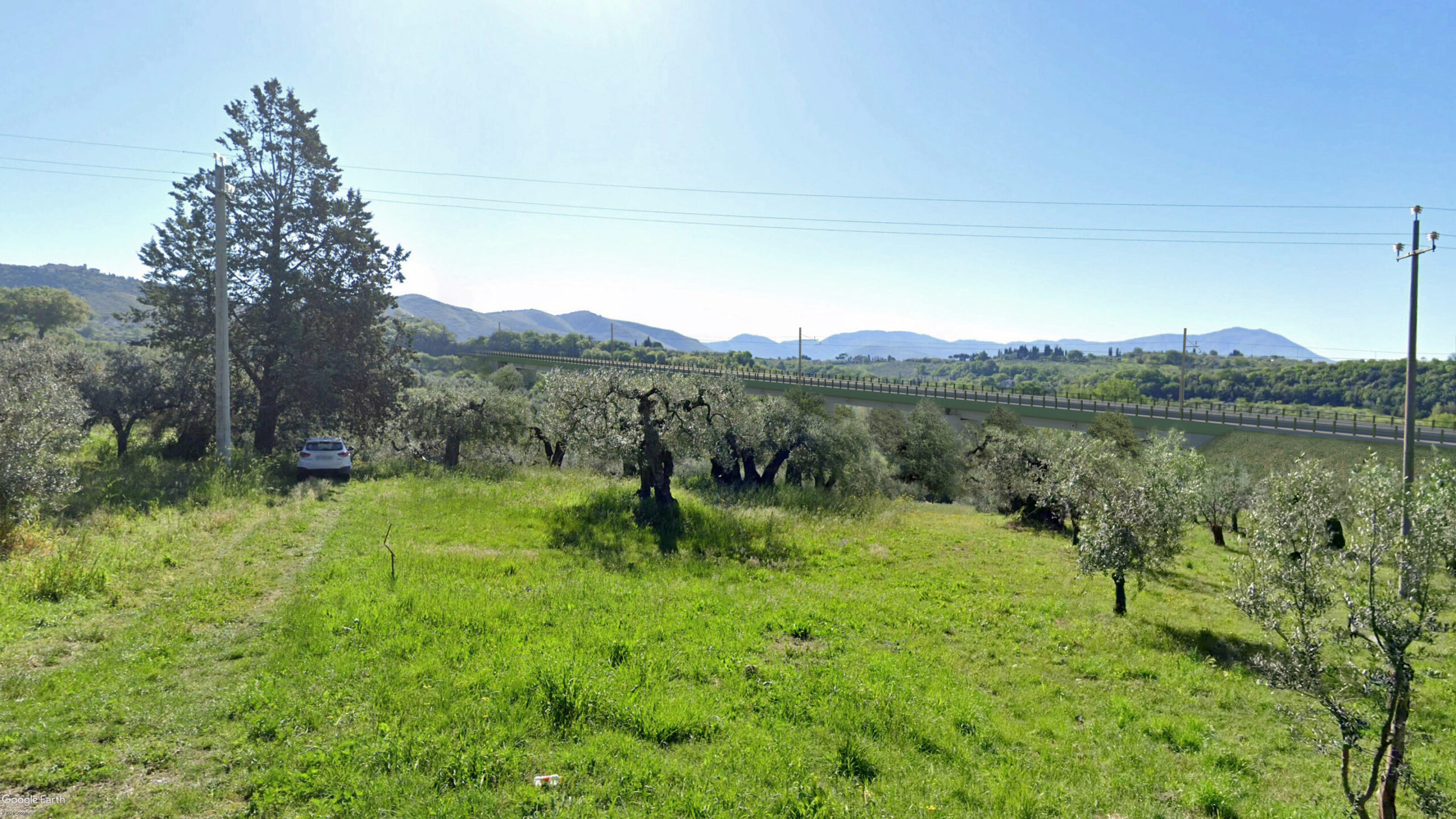
 E.I.S (Environmental Impact Study) for the TEFP (Technical and Economic Feasibility Project) railway line Passo Corese – RietiSettore: Railways & Station
 -
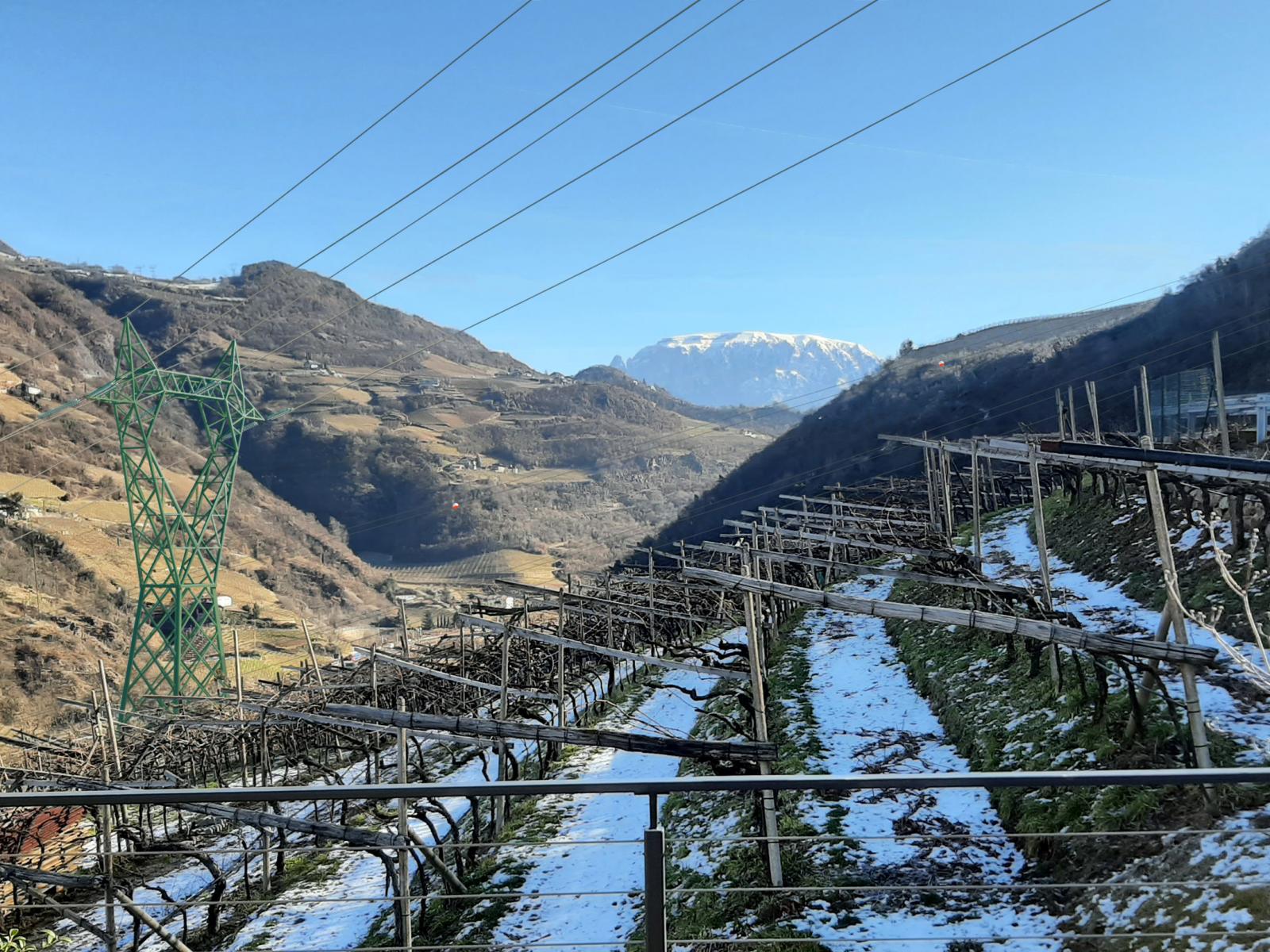
 Rearrangement of the NTG in the Eisack Valley – TERNASettore: Energy Infrastructures
 -
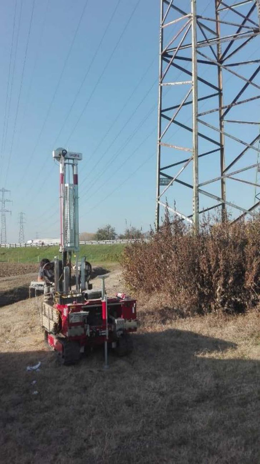
 Geology framework agreement – TernaSettore: Energy Infrastructures