DESCRIPTION:
The Adrano–Paternò section of the S.S. 284 “Occidentale Etnea” extends for approximately 15 km and serves as a key connection between important urban centers, including Adrano, Biancavilla, Santa Maria di Licodia, Ragalna, and their surrounding areas.
Currently, the road is comparable to a Type IV CNR’80 standard, with one lane in each direction and shoulders of variable width, ranging between 7 and 9 meters.
The current route’s planimetric and altimetric characteristics — featuring long straight sections, medium- to wide-radius curves, at-grade intersections, and a significant proportion of heavy vehicle traffic — create multiple critical points for road safety and contribute to a high rate of traffic accidents.
The objectives of the project are to:
- Increase the road’s capacity and the average speed of commercial traffic, thereby reducing congestion and travel times;
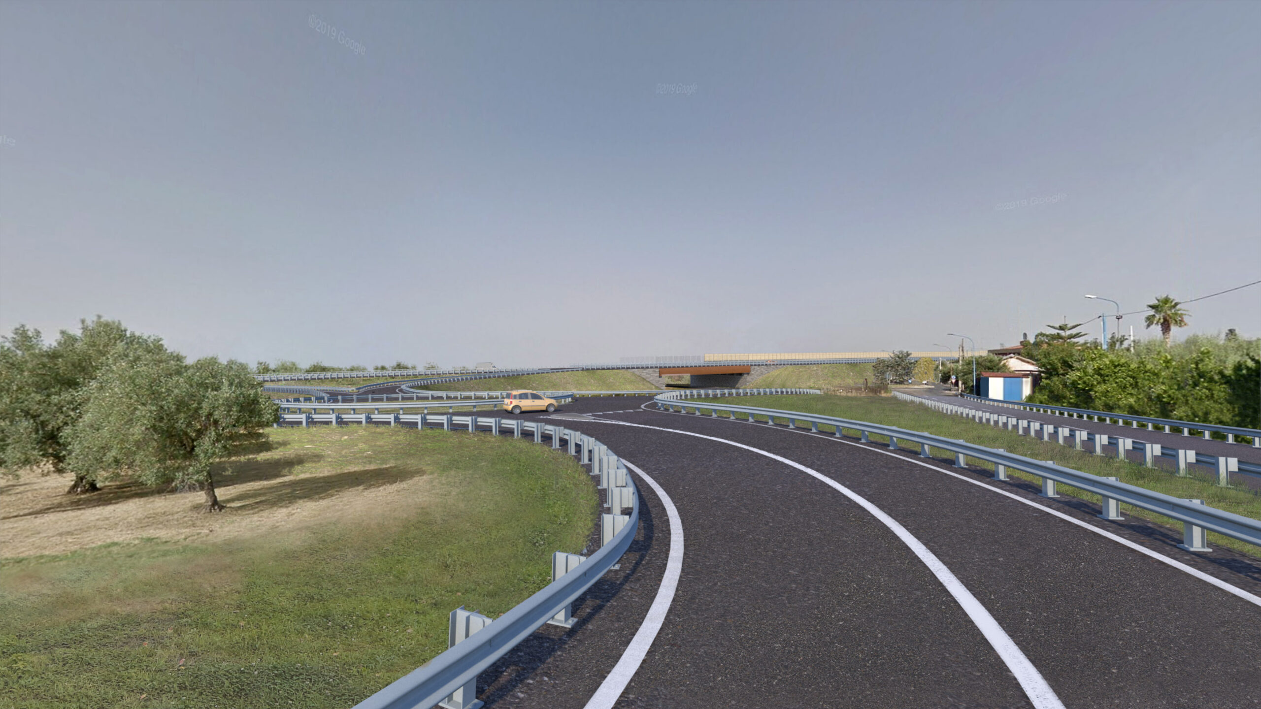
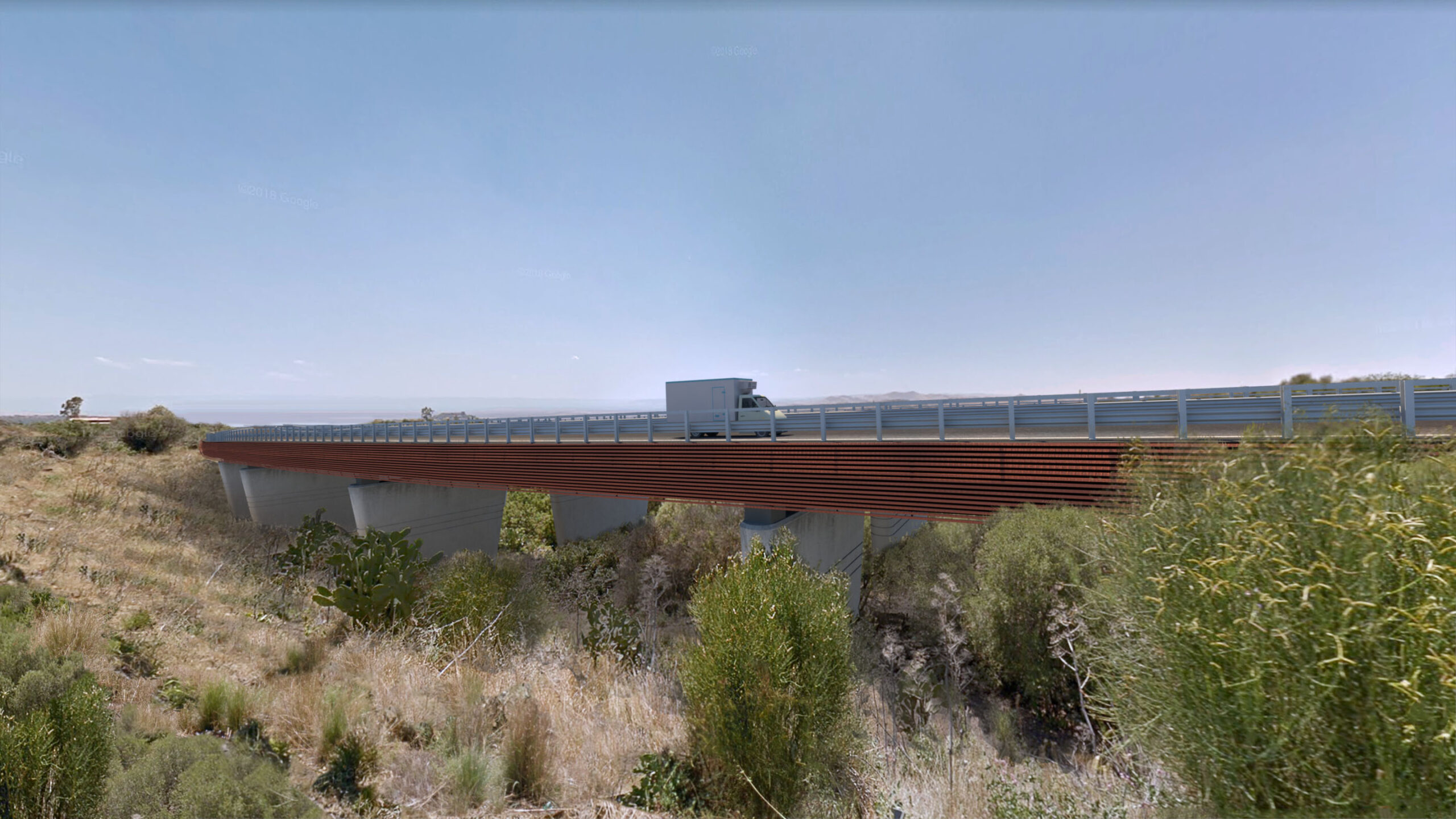
- Upgrade the existing road “in situ” by adopting a Type “B” road section between “Adrano Sud” and “Paternò Sud” junctions;
- Upgrade the existing interchanges by converting them into grade-separated junctions;
- Improve the functionality of the affected road network;
- Minimize impacts on traffic flow and the surrounding residential and productive areas during both construction and operational phases.
SPECIFICICS OF THE STUDY:
As part of the Environmental Impact Assessment (EIA) procedure, further investigations on biodiversity were carried out, in response to the request for additional information from MITE dated 20/10/2022 (Prot. CTVA 7866 – U). These investigations aimed to characterize the plant physiognomies present along the planned project route.
To this end, field surveys were conducted in areas considered representative of the existing vegetation structure, such as Mediterranean scrubland communities and intersections with major watercourses, including Vallone S. Filippo and Torrente Licodia—the latter also recognized as a linear ecological corridor.
The analysis of plant physiognomies provided valuable support for the design of environmental and landscape integration measures.
As a further addition to the documentation submitted for the EIA procedure, an AA (Appropriate Assessment) Screening was prepared for the sites included in the Natura 2000 Network within the broader area surrounding the project, with reference to the SAC (Special Areas of Conservation) ITA070011 “Poggio S. Maria,” located approximately 1,7 km from the planned route.
Within the landscape study, a chromatic analysis was carried out to examine the predominant colors characterizing the landscape areas affected by the project, which mainly belong to the natural and agricultural systems. The dominant color tones include the earthy hues of the soil and the various shades of green associated with the vegetation, systematically found along the entire project alignment.
The image highlights the Chromatic Study related to the intervention at Junction 3, from pk 9+620 to pk 10+000 (municipality of Santa Maria di Licodia). This intervention is located within areas subject to the constraints of “Areas and Sites of Archaeological Interest” (art. 142, letter m) and “Territories Covered by Forests or Subject to Reforestation Constraints” (art. 142, letter g).